GR58: Tour of the Queyras
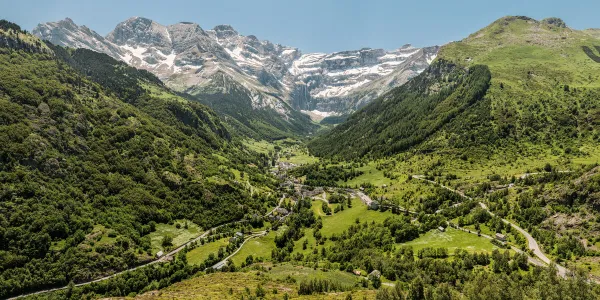
Loop through the Queyras natural park, past sundials, Vauban forts, larch forests, and high-altitude lakes.
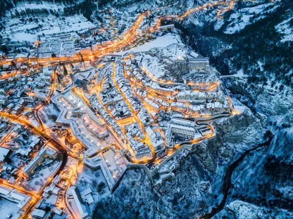
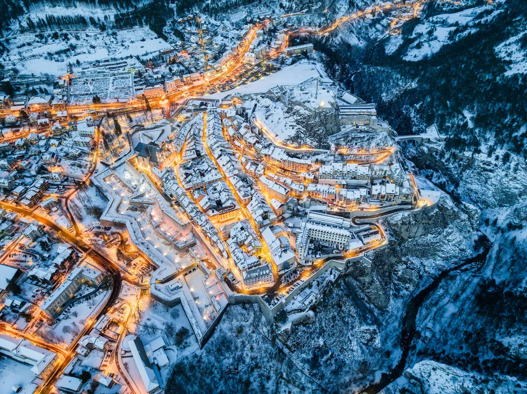
Seven days to complete the GR58 around the Queyras regional park, one of the driest and sunniest massifs in the French Alps. The route links Ceillac and Lac Sainte-Anne at 2,415 metres, Saint-Veran, the highest village in Europe inhabited all year round with its timber fustes and sundials, then Chateau-Ville-Vieille and Fort Queyras locking the Guil gorge, Aiguilles and its woodcraft, Abries at the Italian border, and finally the Col Lacroix at 2,299 metres facing Monte Viso. Passes regularly exceed 2,500 metres and snow can linger into early July. Mountain lodges are few and fill quickly, so book ahead. Water is scarce on the ridge sections, so fill up at every refuge.
Practical info
- Stops
- 6
- Duration
- 7 days
- Transport
- 🥾 On foot
- Distance
- ≈ 40 km
- Best time
- Spring and summer
Itinerary
- 1
Ceillac
Village pastoral, lac Sainte-Anne a 2415 m et foret de meleze.
- 2
Saint-Veran
Plus haute commune d'Europe habitee toute l'annee, cadrans solaires et fustes.
- 3
Chateau-Ville-Vieille
Chateau Queyras dominant la gorge du Guil, verrou glaciaire.
- 4
Aiguilles
Village de bois sculpte, artisanat du jouet en bois.
- 5
Abries
Dernier village avant l'Italie, col de la Croix et col Agnel proches.
- 6
Col Lacroix
Passage a 2299 m entre Abries et le Viso, panorama sur le roi de pierre.