Vosges Ridge Trail: GR5 Vosges Section
Crossing the Vosges via the Cretes road and GR5, between high pastures, glacial lakes, and Haut-Rhin farm-inns.
Five days on foot along the Vosges ridges on the GR5, following the 1914-1918 front line, which ran exactly along the watershed. The route starts at the Grand Ballon, the range's highest point at 1,424 metres, reaches the Markstein and its high pastures covered in wild bilberries, then the Hohneck and its glacial cirques where chamois reintroduced in the 1950s are often seen, Lac Blanc and Lac Noir set in their cirques with the Rocher Hans path, the Col du Bonhomme, and finally Lac de Gerardmer. Farm inns punctuate the route and serve the repas marcaire; book beds ahead, as there are few. Fog descends quickly on the pastures, and trench remains are visible throughout.
Practical info
- Stops
- 6
- Duration
- 5 days
- Transport
- 🥾 On foot
- Distance
- ≈ 50 km
- Best time
- Spring and summer
Itinerary
- 1
Grand Ballon
Point culminant des Vosges a 1424 m, panorama jusqu'aux Alpes par temps clair.
- 2
Markstein
Hautes chaumes, ferme-auberge du Steinlebach et myrtilles sauvages.
- 3
Hohneck
Troisieme sommet des Vosges a 1363 m, cirques glaciaires et chamois.
- 4
Lac Blanc — Lac Noir
Deux lacs glaciaires enchasses dans les cirques, sentier du rocher Hans.
- 5
Le Bonhomme
Col du Bonhomme, ancienne frontiere et panorama sur la plaine d'Alsace.
- 6
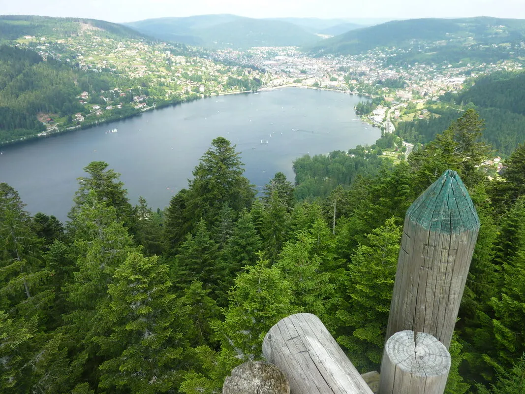
Lac de Gerardmer
Plus grand lac des Vosges, perle des Vosges et sentier du tour du lac.