Cevennes National Park: GR6 and GR7 Trails
Crossing the Cevennes via the GR6 and GR7, through limestone causses, Tarn gorges, chestnut groves, and schist hamlets.
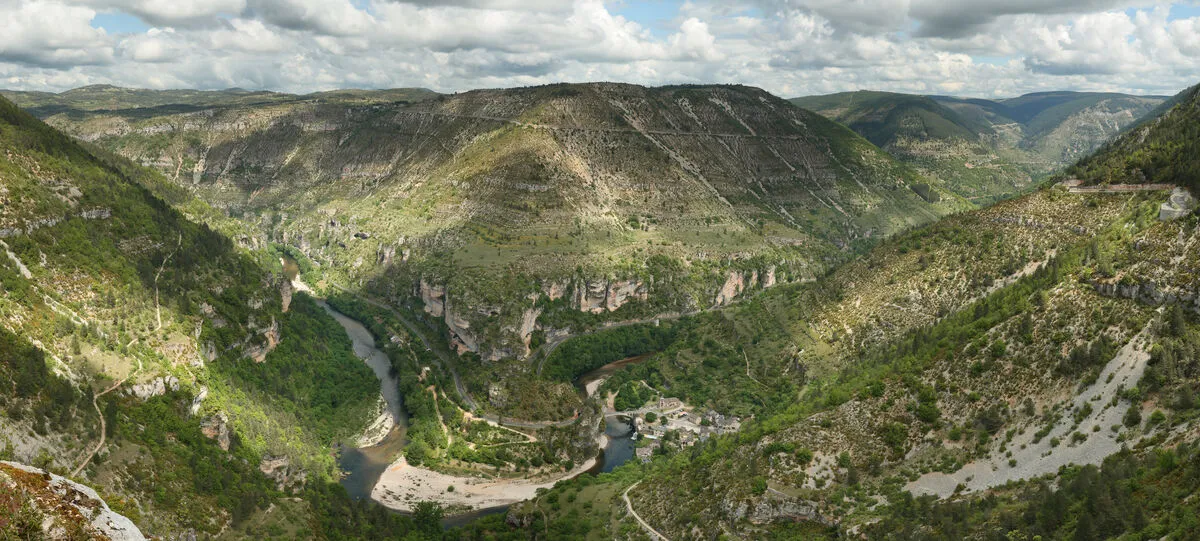
Six days walking across the Cevennes national park, the only permanently inhabited national park in France and World Heritage listed for its Mediterranean agro-pastoralism. The route starts at Florac, the park headquarters, crosses the Causse Mejean, an almost desert limestone plateau at a thousand metres where the Aven Armand cave opens with its giant stalagmites, drops into the Tarn gorges at Les Detroits between four-hundred-metre walls, climbs Mont Aigoual and its weather station, the last inhabited one in France, then the Vallee Francaise and its chestnut terraces, and finally Le Vigan. The contrast between arid causse and damp schist valleys is striking. Water is entirely absent on the causse: fill up in the hamlets. The Cevenol storms of September are violent and sudden.
Practical info
- Stops
- 6
- Duration
- 6 days
- Transport
- 🥾 On foot
- Distance
- ≈ 100 km
- Best time
- Spring and summer
Itinerary
- 1
Florac
Siege du Parc National des Cevennes, chateau et source du Picher.
- 2
Causse Mejean
Plateau calcaire desertique a 1000 m, aven Armand et ses stalagmites geantes.
- 3
Gorges du Tarn — La Malene
Barques sur le Tarn, Detroits et falaises de 400 m de haut.
- 4
Mont Aigoual
Sommet a 1567 m, derniere station meteo habitee de France et vue sur les Alpes et la Mediterranee.
- 5
Vallee Francaise
Coeur des Cevennes schisteuses, terrasses de chataigniers et mas cevenols.
- 6
Le Vigan
Porte sud des Cevennes, pont roman et musee cevenol.